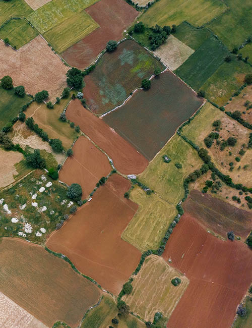
Drone mapping can give you better insight into your project in a rapid and safe manner. Map outputs are geometrically corrected and can be used to make accurate direct measurements of distance, angles, volume and area.
What is Drone Mapping?
Drone Mapping involves acquiring hundreds of aerial images and then ‘stitching’ them together digitally with specialized mapping software to make a larger more accurate composite image.
Industries Services
Agriculture
Construction
Conservation and environmental
Mining
Forestry management
Solar farm maintenance
Land development
Transmission and Distribution inspection
"Exceptional facilities and very detailed instruction. The practical training was fun and inspired confidence."
PG Harper
"I was on the introduction course and I think that this course needs to be included with every drone sold in SA."
SR Fisher
"The flying was fun but I didn’t expect to learn about all the laws that must be followed. I definitely feel that I’m a safer hobbyist now."