Agricultural Drone Surveys
(Coming Soon)
Make effective and efficient farming decisions
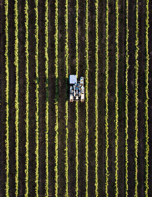
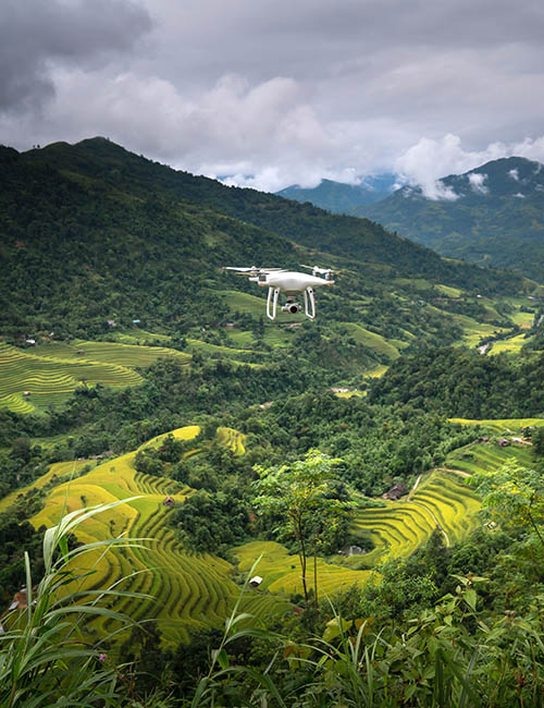
Our Agricultural Drone Surveys empowers farmers, crop consultants, or large commercial farming operations to make more effective and efficient farming decisions.


Maximize yield, avoid waste
Our drone services help farmers apply agriculture techniques for better crop and livestock management. Our drones provide farming photography and video data, covering large land areas quickly to pinpoint where actions are needed. Drones deliver real-time feedback on soil, plant, moisture and topography to help maximize yield, avoid waste and bring more to your bottom line.

Agricultural Drone Survey Services
- Count and Size Plants
- Measure Plant Health, Quantitatively
- Generate Prescription Maps
- Optimize The Zonal Efficiency Of Fields
- Detect Early Indicators Of Plant Stressors
- Assess Livestock Health And Weight Gain
- Identify Damaged Fencing
- Assess Storm Damage
- Determine Optimal Foraging Areas
"Exceptional facilities and very detailed instruction. The practical training was fun and inspired confidence."
PG Harper
"I was on the introduction course and I think that this course needs to be included with every drone sold in SA."
SR Fisher
"The flying was fun but I didn’t expect to learn about all the laws that must be followed. I definitely feel that I’m a safer hobbyist now."
Gerry vd Walt